BETA Products
Welcome to the NGS National Spatial Reference System (NSRS) Beta Products Site. Explore the core products and tools that will support the modernized NSRS. These beta releases are available for public testing and evaluation until at least March 2027. We encourage you to use them with your own workflows and provide feedback to help refine the final operational release.
Help Review and Improve the NSRS Tools
Welcome to the beta release of the Modernized NSRS tools. These preliminary products are available for public testing and evaluation and are not yet final or official.
We need your feedback to ensure these tools are accurate, reliable, and ready for operational use. Please test them with your own data and workflows and let us know about any issues you encounter, including file or syntax errors, unexpected computational results, API failures, usability concerns, or other observations. Every report helps us improve the final release.
Submit FeedbackData Delivery System (DDS)
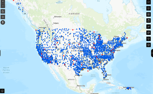
The DDS is the primary gateway for discovering, visualizing, and accessing geodetic data and products in the modernized NSRS through the updated NGS Map and new Geodetic Station Pages and Geodetic Mark Pages.
OPUS Static
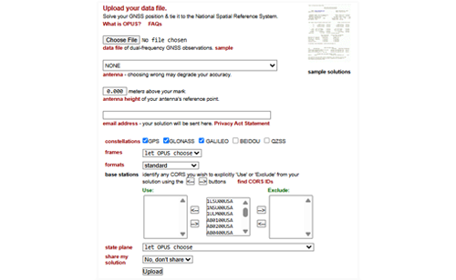
Upload a multi-constellation GNSS data file for processing and receive a modernized NSRS solution via email. Solutions are in any of the four 2022 terrestrial reference frames and include SPCS2022 coordinates and NAPGD2022 orthometric heights, where available.
NGS Coordinate Conversion and Transformation Tool (NCAT)
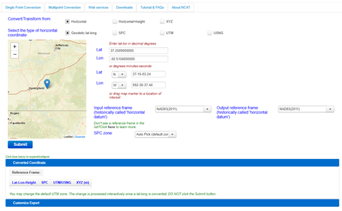
Convert and transform coordinates between the current and modernized NSRS. NCAT supports coordinate conversions, NADCON and VERTCON transformations, geopotential calculations, and additional functionality for working with modern geodetic coordinates.
NAPGD2022
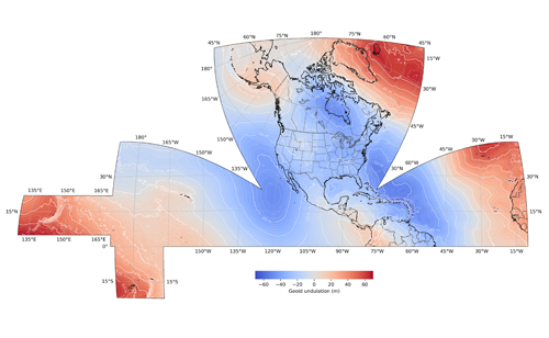
Download, access, and visualize the North American Geopotential Datum of 2022 (NAPGD2022) which will replace NAVD 88. The datum contains models that provide mutually consistent orthometric heights, geoid undulations, gravity anomalies, deflections of the vertical, and other geodetic coordinates related to the gravity field. Finalized
NATRF2022, PATRF2022, CATRF2022, & MATRF2022
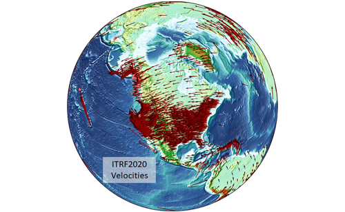
Review the parameters for the four new plate-fixed terrestrial reference frames that will replace NAD 83. These new frames provide the reference for latitude, longitude and ellipsoidal height. All of the frames are aligned to ITRF2020 at epoch 2020.00, and each frame rotates over time with the stable part of its tectonic plate. Finalized
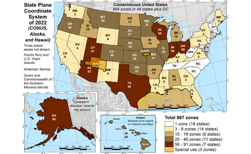
State Plane Coordinate System of 2022 (SPCS2022)
Explore the zone definitions and bounding boxes, linear distortion maps, and online interactive maps for the new State Plane Coordinate System of 2022 that support surveying, engineering, and mapping within the Modernized NSRS. Finalized